Computing statistics…
Lerma–Santiago River Basin Water Bodies Monitoring Platform
Discover, analyze, and monitor the Lerma–Santiago River Basin's water bodies through an interactive geospatial dashboard powered by satellite imagery and spectral-based classification.
Gain valuable insights into reservoirs to support environmental monitoring and sustainable water resource management.
HydroVision Dashboard: Vegetation Monitoring in the Lerma–Santiago River Basins
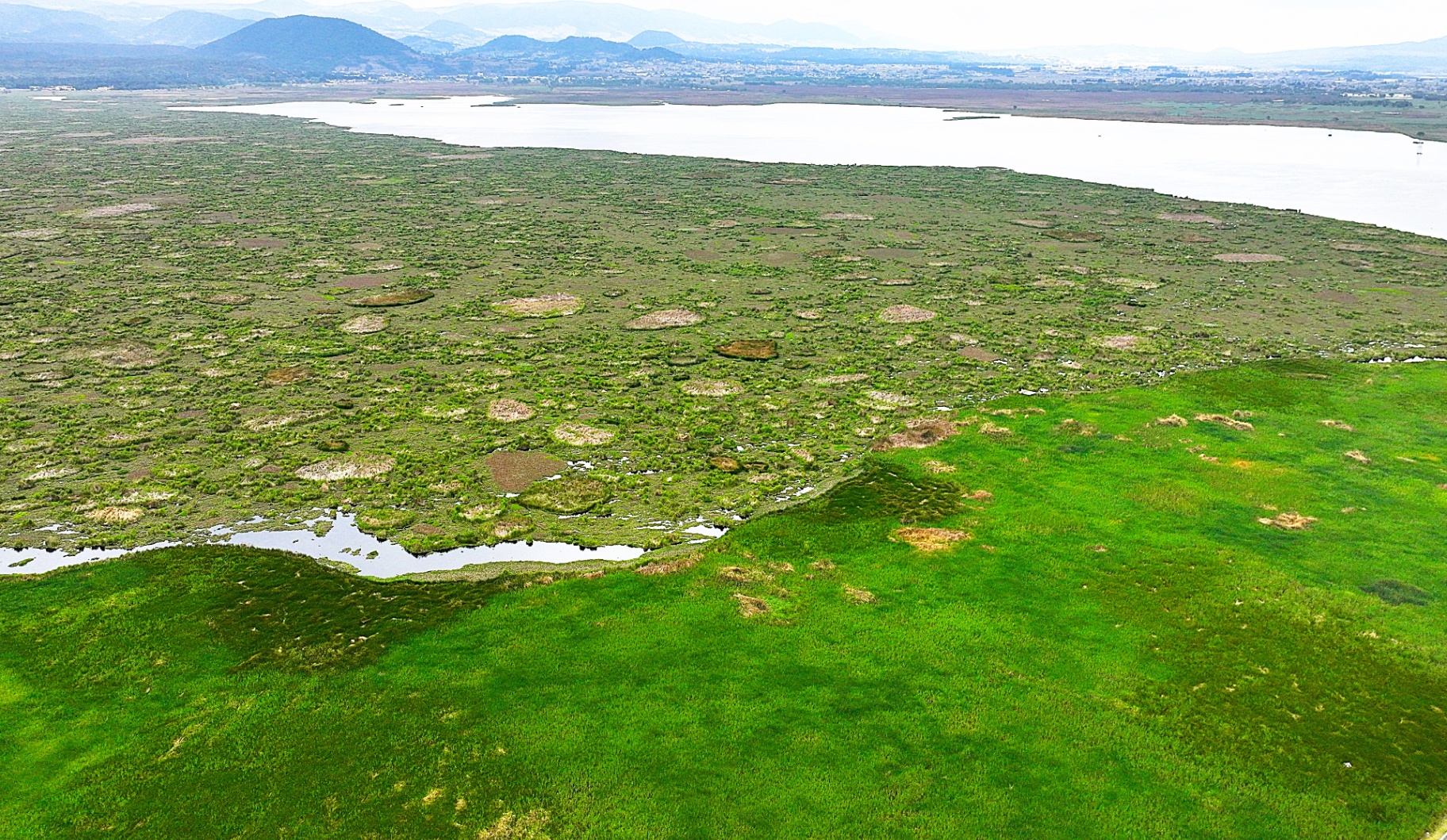
Explore interactive maps of vegetation extent within selected water bodies across the Lerma–Santiago River Basin using Sentinel-1 and Sentinel-2 remote sensing data.